
Expanded Learning Programs Interactive Web Map
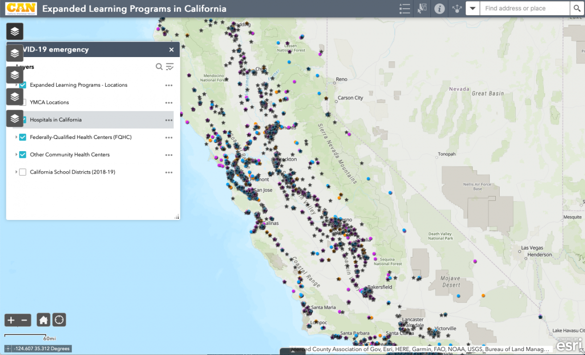
CAN has been working with our partners at the UC Davis Center for Regional Change (CRC) to build out an interactive web map. This application maps variables describing student and community health and need, which are summarized by various regions (including the 11 CCSESA regions and Legislative Districts) and overlaid with the locations of Expanded Learning Programs.
Quick Instructions: On the left side of the map you’ll see the 5 layer buttons. The first one contains only the recent COVID-19 data points (see below), which is the layer list that opens up initially. If you scroll over and click on the other layer buttons, you’ll see CCSESA Region, Senate District, Assembly District, and Congressional District. You can click on any of these layers to find the datasets related to health care, socioeconomics, etc.
For more support on how to use the interactive web map, access the story map: How to use the Expanded Learning Programs Web Map.
COVID-19 Update: Afterschool and Expanded Learning are positioned to help!
CAN partnered with CRC to expand the interactive map to help you locate your community’s programs and their proximity to hospitals and other essential services such as police and fire stations.
Please Note: While the recent Governor’s Office Executive Order allows for ASES programs to provide service to children of essential workers it does not guarantee that these sites are currently or will provide programs. Please work with your local communities to determine what services actually are or will be available.
This project was funded by the California AfterSchool Network (grant sources) and created by the UC Davis Center for Regional Change with the support and guidance of the CA Field Advisory Group.