
Expanded Learning Database
Interactive Maps: Expanded Learning Programs in CA
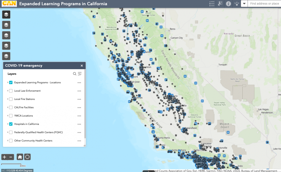
In early 2019, California AfterSchool Network (CAN) partnered with the UC Davis Center for Regional Change (CRC) to leverage CAN’s existing database of Expanded Learning Programs in California with ESRI products to create a visual representation of data visualization, using a variety of publicly available data sources and GIS mapping technology. This work was informed by feedback from CAN’s Field Advisory Group.
- Access the Maps: https://arcg.is/1zviau
- See How to use the Expanded Learning Programs Web Map for instructions on how to navigate the website.
Please note the data in the map is from 2019-2020. Contact Leslye if you have questions about the Map.